


July 23 Flyover of Coal River Mountain
Jul 26, 2016
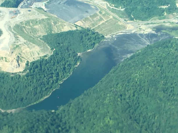
On July 23, Southwings (http://www.southwings.org) volunteer pilot Tom White provided a flyover so that we could get an aerial look at Alpha Natural Resources' mountaintop removal operations on Coal River Mountain and a peek at reclamation progress on neighboring Cherry Pond Mountain. Here are some photos from the flight. 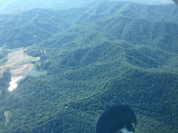 The ridge comprising most of the 561-acre Center Contour permit area. The black liquid and dam is the old Collins Fork impoundment.
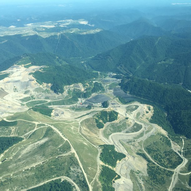
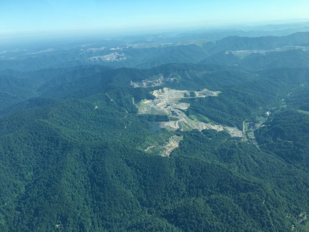 The active Collins Fork and Middle Ridge sites on Coal River Mountain. The ridge in the foreground is the proposed Center Contour site. All the rest are already permitted. Kayford Mountain is in the background.
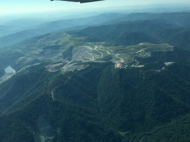
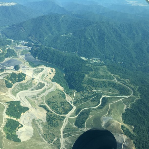
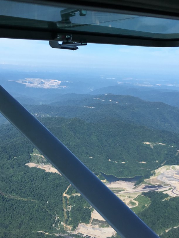 The active Collins Fork site in the foreground, the proposed Center Contour site on the slope above and ridge to the left of Collins Fork, and part of the 2,000-acre Eagle 2 site (not yet started) on the ridge above Collins Fork and extending into the distance. The 2,000-acre Edwight mountaintop removal site on Cherry Pond Mountain is 7 miles away, the large bare area in the background on the left. The Twilight complex, also on Cherry Pond Mountain, is 9 miles away on the right.
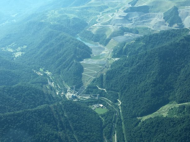
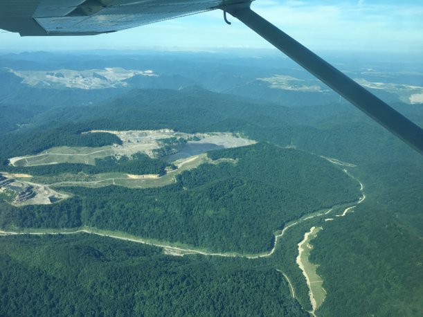 The Brushy Fork sludge dam. The Edwight mountaintop removal site is in the distance on the left, 3.5 miles beyond Brushy Fork. The Twilight mountaintop removal complex is in the distance on the right, 4 miles from Brushy Fork.
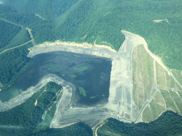
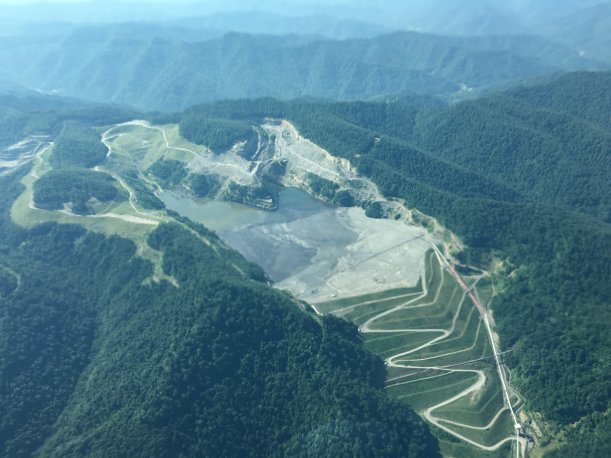 The Brushy Fork sludge dam on Coal River Mountain, holding about 7 billion gallons of coal processing waste over abandoned underground mines. From the extent of the "disturbed" area at the upper left to the toe of the dam, just outside the photo bottom right, is about two miles.
 the 2,000-acre Edwight mountaintop removal site on Cherry Pond Mountain, which drains into the 2.8-billion-gallon Shumate's Branch sludge dam, above the old Marsh Fork Elementary school. From the farthest extent of the sludge to the toe of the dam is over a mile. The communities of Naoma, Pettry Bottom, and Sundial are on the left. Alpha Natural Resources is supposed to be reclaiming the MTR site, but progress is slow. WVDEP continues to grant extensions on the reclamation schedule. The Goals Coal preparation plant is still operating and feeding the sludge dam. Coal River Mountain is across the river to the left.
 Another view of the 2,000-acre Edwight mountaintop removal site on Cherry Pond Mountain. From the left end of the site to the right end is three miles.
 Another view of the 2,000-acre Edwight mountaintop removal site and 2.8-billion-gallon Shumate's Branch sludge dam above the communities of Edwight, Sundial, and Pettry Bottom. The Twilight complex, also being "reclaimed," lies across Hazy Creek hollow.
 The Edwight site and Shumate's Branch sludge dam. Brushy Fork sludge dam is in the upper right corner.
 2.8 billion gallons of toxic coal waste.
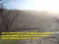
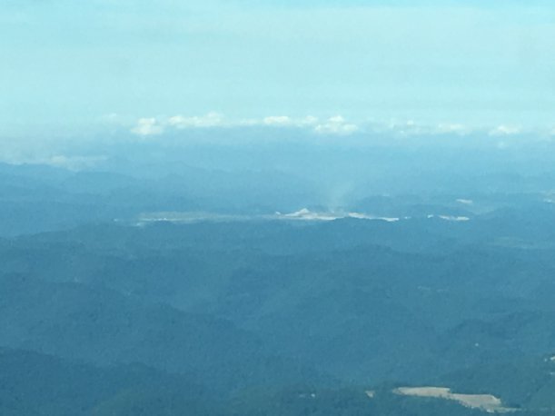 Carcinogenic dust plume from a distant mountaintop removal site.
 The sludge dam above Sylvester, WV.
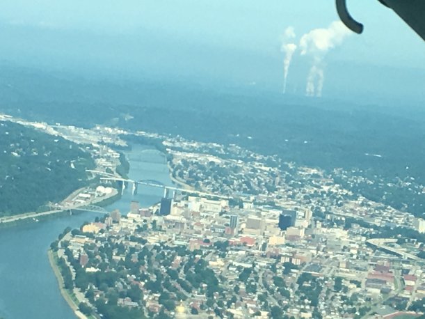 Charleston, WV, and the Kanawha River. Plumes from the John Amos coal-fired power plant are in the background. The golden dome of the WV Capitol is near the bottom center.
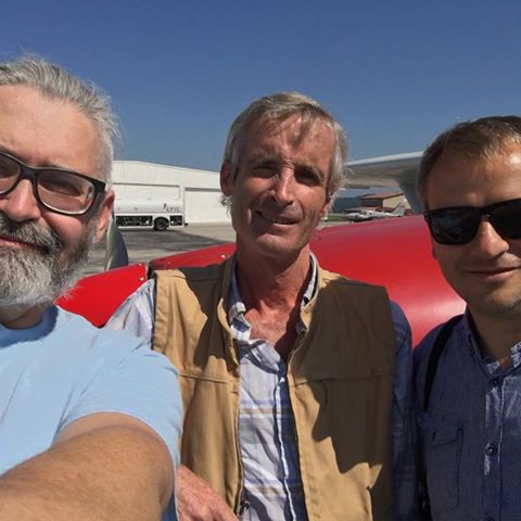
Coal River Mountain Watch's Vernon Haltom, Southwings pilot Tom White, and Danish newspaper Berlingske photographer Soren Bidstrup.